OPERA Radar Products Explained: DBZH, RATE and ACRR
A bright radar pixel can mean a strong echo, a high estimated rain rate, or a large rainfall total. Those are different quantities. In Europe’s OPERA composites, DBZH describes reflectivity, RATE estimates rainfall intensity, and ACRR estimates the amount accumulated over the preceding hour.
The units provide the quickest check: dBZ, millimetres per hour, and millimetres, respectively. Choose the quantity before interpreting the colour on the map.
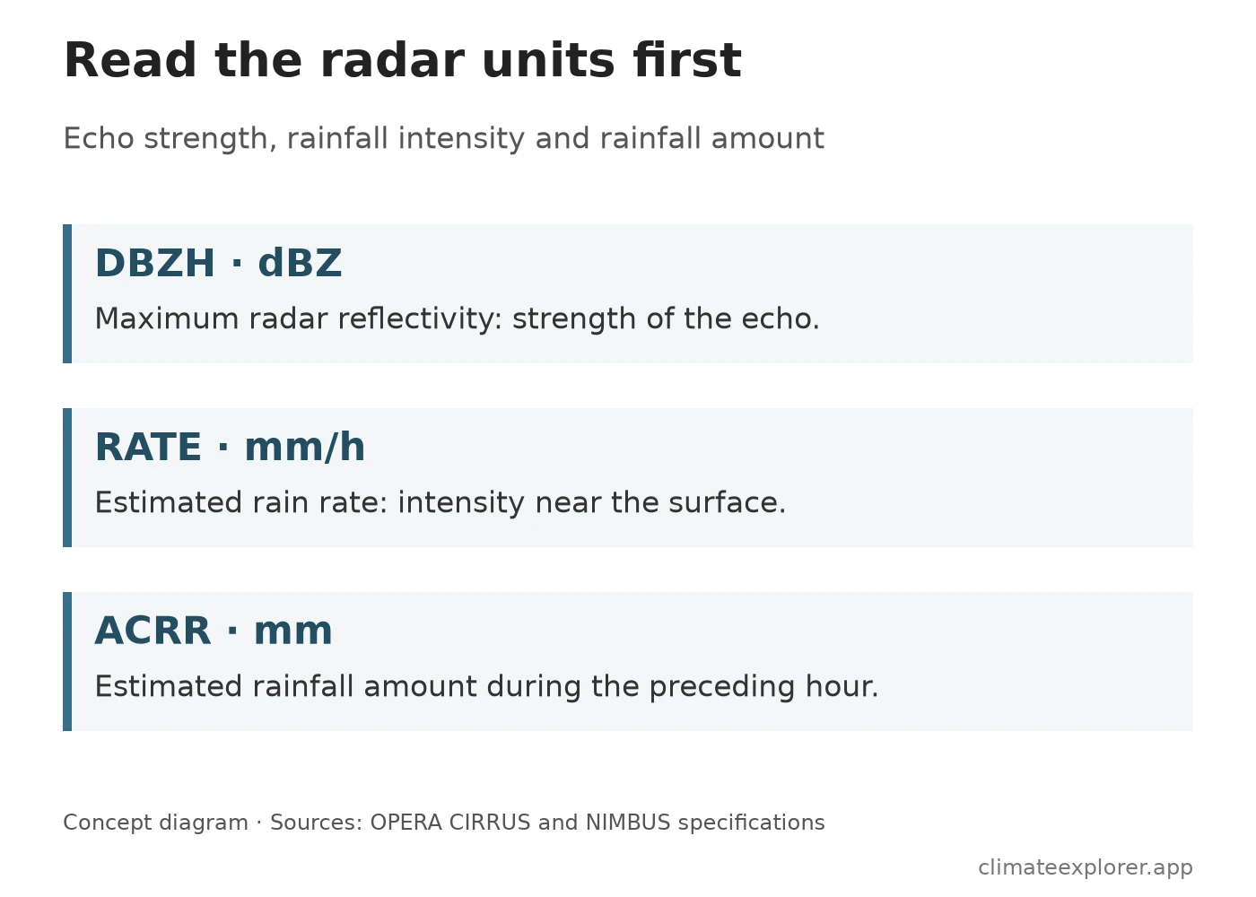
The diagram summarizes the product definitions; it is not a radar observation.
DBZH shows the strength of the radar echo
The CIRRUS maximum-reflectivity composite selects the strongest contributing reflectivity for each composite pixel. Its nominal grid spacing is 1 km, with a product every 5 minutes. Reflectivity is expressed on the logarithmic dBZ scale.
A strong return can help locate an intense storm, but it is not a direct measurement of rainfall at the ground. Radar samples a volume of the atmosphere, and the maximum can come from above the surface. Different precipitation particles and non-weather echoes also affect what the radar detects. A DBZH maximum therefore should not be read as a rain-gauge total or converted into one using the map colour alone.
RATE estimates rainfall near the surface
NIMBUS produces a 2 km surface rain-rate composite every 15 minutes, expressed in mm/h. The June 2024 product specification describes the use of low-elevation scans, with contributing data selected to favour measurements closer to sea level. It converts reflectivity to an estimated rain rate using a specified relationship between the two quantities.
That conversion is a model, not a second instrument measuring rain at the pixel. Beam blockage, ground clutter, the height of the sampled precipitation and the assumed reflectivity–rain relationship can all affect the estimate. A 2 km grid also represents an area, so a local gauge and its containing pixel need not agree exactly.
A value of 8 mm/h means an estimated intensity. It does not mean that 8 mm has already fallen during the product’s 15-minute interval.
ACRR adds a duration to the question
ACRR is NIMBUS’s estimate of rainfall during the preceding hour, in mm, updated on the 15-minute product grid. The specification describes it as derived from the previous four 15-minute RATE composites. Consecutive hourly accumulation frames therefore overlap in time; adding them every 15 minutes would count much of the same rainfall repeatedly.
To see why the units matter, imagine rain continuing at a steady 8 mm/h for 15 minutes. That interval contributes 2 mm: 8 multiplied by one quarter of an hour. Four such intervals contribute 8 mm over an hour. This is an illustration of rate and duration, not a reproduction of NIMBUS’s operational algorithm or its treatment of missing inputs.
ACRR is useful when the question concerns recent rainfall amount. A short-lived peak in RATE can look severe while contributing relatively little to the hourly total; a lower rate sustained over the hour can contribute more.
Quality information has a defined scope
OPERA supplies quality information alongside its quantities, but a high quality index is not a guarantee of an error-free rainfall estimate. In the NIMBUS specification, the composite quality index draws on filters for effects such as clutter and beam blockage. It can default to 1 when those filters have not been applied. Read the product’s definition before treating the index as a probability or using it as the sole criterion for accepting a pixel.
A missing pixel also needs to remain distinct from a valid zero. Missing input, radar coverage and processing decisions can create gaps that say nothing about whether rain fell there.
Match the product to the task
Use DBZH to examine echo strength and storm structure, RATE for estimated rainfall intensity, and ACRR for the preceding hour’s estimated accumulation. For a local event, compare the relevant frame and time window with gauges or other observations before drawing a point-level conclusion.
The OPERA Radar Explorer displays these products through an independent interface. The OPERA guide explains frame selection and downloads. A processed export remains derived from the OPERA product: it does not become a new ground measurement, and technical access does not replace the provider’s reuse terms.
Product definitions in this article were checked against the CIRRUS and NIMBUS documents listed below on 12 September 2026.
Frequently Asked Questions
Is DBZH the same as rainfall intensity?
No. DBZH describes maximum radar reflectivity in dBZ. RATE converts low-level radar measurements into an estimated surface rain rate in mm/h; the two products answer different questions.
Can I add consecutive ACRR frames to get a daily total?
Not when the frames are only 15 minutes apart. Each describes the preceding hour, so adjacent frames overlap. A daily calculation needs a method that avoids counting the same rainfall repeatedly and handles missing intervals.
Does a quality index of 1 guarantee a correct estimate?
No. The NIMBUS specification allows a value of 1 when the relevant quality filters have not been applied. Interpret the index using the product documentation and alongside other evidence.
Data Annex
| Product | Quantity and unit | Nominal grid | Product timing |
|---|---|---|---|
| DBZH, CIRRUS | Maximum reflectivity, dBZ | 1 km | Every 5 minutes |
| RATE, NIMBUS | Estimated surface rain rate, mm/h | 2 km | Every 15 minutes |
| ACRR, NIMBUS | Estimated preceding-hour accumulation, mm | 2 km | Rolling hourly window, updated every 15 minutes |
| Interpretation issue | Consequence |
|---|---|
| Radar samples the atmosphere | An echo maximum need not describe precipitation reaching the ground. |
| Rain rate requires a conversion from reflectivity | The assumed relationship contributes uncertainty to RATE and ACRR. |
| Hourly windows overlap | Adding ACRR frames 15 minutes apart double-counts rainfall. |
| Quality indices describe particular checks | They are not universal confidence scores or guarantees of accuracy. |
| A pixel has spatial extent | A point gauge and an area estimate are not interchangeable. |
Data Sources
- EUMETNET OPERA production and access: production roles, product access and reuse context.
- CIRRUS Maximum Reflectivity Product Sheet, edition 2.0: DBZH grid, cadence, method and limitations.
- NIMBUS Product Datasheet, 13 June 2024: RATE and ACRR definitions, temporal windows, processing and quality-index interpretation.